Six Kenyans searched 'plot number' this month and found nothing — AI-driven parcel lookup is closing that gap
Google Search Console data shows Kenyans search for 'plot number', 'what is my plot number', and related land identification queries every month — and find almost nothing. The gap between what people need to know about their land and what the internet currently answers is wide. AI-driven parcel search, combined with GIS data layers for ownership, zoning, flood risk, and rates, turns a plot number into a full due-diligence report automatically. This article explains how AI + GIS land search works and how it changes the due-diligence workflow for developers and buyers.
What Kenyans are searching for — and not finding
Google Search Console data for architect-darani.com in the 30 days to July 2026 shows a revealing pattern. Among the search queries that generated impressions, 'plot number' appeared with 5 impressions at an average position of 4.0, and 'what is my plot number' appeared with 1 impression at position 9.0. Both had zero clicks.
These are not high-volume queries by global standards. But they signal something important: there are Kenyans actively searching for help with land identification, and the internet is not answering them. The gap between what people need to know about their land — the plot number, the boundaries, the ownership status, the zoning, the rates — and what a Google search returns is wide.
This gap represents a real friction point in the Kenyan property market. Before a developer can assess a site, before a buyer can verify a title, before a bank can value a security — someone needs to turn a plot number into reliable information. Currently, that process is manual, fragmented across multiple offices and agencies, and slow.
AI-driven parcel search changes the workflow. It combines the spatial query capability of a GIS system with the structured output capability of a document generation system so that a plot number produces a complete due-diligence report — not a list of search results.
How AI-driven parcel lookup works: from plot number to due-diligence report
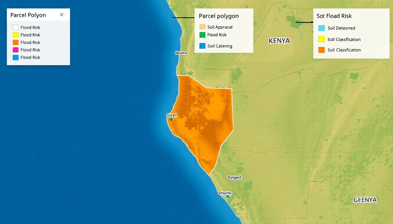
The process starts with a plot number — typically a Land Reference number or a parcel identifier from a survey plan. The system queries a spatial database for the polygon that matches that identifier, retrieves the parcel boundary, and overlays it on a basemap so the user can see exactly what land they are looking at.
From the parcel geometry, the system queries additional data layers. The zoning classification from the county GIS layer tells you what can be built on the land — residential, commercial, mixed-use, or restricted — and the development controls that apply. The flood risk layer from the national dataset tells you whether the parcel falls within a flood zone and what that means for foundation design and insurance. The soil classification layer tells you what the ground conditions are and whether special foundations are likely. The rates layer tells you what the current land rates valuation is and whether rates are up to date.
The system also queries for nearby services — road access, water supply, sewerage, electricity — using proximity analysis from the spatial database. The output includes distances to the nearest trunk infrastructure, which affects both development feasibility and cost.
All of this data is assembled into a structured site report with source citations for each data layer — which dataset was queried, when it was retrieved, and what the confidence level is. The report includes the parcel map, the zoning summary, the constraint analysis, and the infrastructure assessment. It is a due-diligence baseline, not a legal opinion — but it covers the ground that a consultant would cover in the first week of a project, in minutes rather than days.
The ownership question: what AI can and cannot tell you
There is one question that consistently comes up in any discussion of AI-driven land search, and it needs a direct answer: can AI tell you who owns the land?
The short answer is that AI can query registered parcel data from official sources where that data exists in structured form, but it cannot replace a title search at the lands registry. Ownership data in Kenya is held in the Ardhisasa system and the county land registries. Access is not always consistent, and the quality of digitised records varies.
REDM's GIS agent follows a strict rule on ownership: it cites ownership data only from verified sources with a documented retrieval trail. If ownership data is not available from those sources, the report explicitly states 'ownership unavailable' rather than hallucinating an owner name from an unreliable source or a language model. This is a non-negotiable system rule — RULE-001 in REDM's governance framework — and every output is checked against it.
What the AI parcel search does provide is the spatial and regulatory context that surrounds the ownership question: the boundary, the zoning, the constraints, and the infrastructure. These are independently verifiable facts that do not depend on the registry. They are also the facts that a developer needs to make an initial assessment before committing to a full title search.
The cost of not doing due diligence: what the data layers prevent
Every property professional in Kenya has a story about a project that ran into trouble because basic due diligence was not done. A developer who bought land zoned for agriculture and spent two years trying to get a change of use. A contractor who tendered for a project without checking the flood risk and discovered during excavation that the foundations needed piling. A buyer who paid a deposit on a plot that turned out to be on a road reserve.
These failures share a common cause: the information was available, but it was not assembled. The zoning map existed at the county office. The flood risk assessment existed in the national dataset. The cadastral map existed in the survey records. But nobody put them together for that specific plot because the process of querying each source individually was too slow and too expensive for a preliminary assessment.
AI-driven parcel search removes the assembly cost. A single plot number query triggers parallel lookups across the zoning, flood, soil, rates, and infrastructure layers. The output is a single report that tells you what you need to know before you spend money on a formal due-diligence exercise. The formal exercise — title search, survey, geotechnical investigation — still needs to happen. But the AI search tells you whether it is worth proceeding.
What this means for your next land purchase or site assessment
If you are evaluating a plot for development or purchase, the due-diligence workflow with AI-assisted parcel search changes from sequential to parallel. Instead of commissioning a surveyor, then a valuer, then a planner, then an engineer — each producing a report that the next consultant must wait for — the AI parcel search produces a baseline report that all consultants can work from simultaneously.
The report includes the parcel map, the zoning classification, the development controls, the constraint layers, and the infrastructure assessment. Each consultant receives the same baseline, which reduces the risk of conflicting assumptions — a common problem when consultants work from different source data.
REDM's plot check tool provides this baseline report for any parcel with GIS data coverage. The output includes the parcel boundary map, the zoning summary, the constraint analysis, and a list of data sources. It is the first step in a structured due-diligence process.
Next step
Turn this insight into a project decision
Use the free check or calculator while the question is still fresh. If the numbers make sense, continue into report delivery, capture and project setup.
Start a plot checkFrequently asked questions
Can I search for any plot number in Kenya through REDM?
REDM's plot search covers parcels where GIS data layers are available — mainly urban and peri-urban areas with digitised cadastral, zoning, and environmental data. Coverage varies by county. The search returns whatever layers are available for the queried parcel and clearly indicates where data is missing.
Does the plot search show who owns the land?
REDM's system reports ownership only from verified, documented sources. If ownership data is not available from those sources, the report states this explicitly rather than providing unverified information. A formal title search at the lands registry is always recommended before any transaction.
How is this different from searching on Google Maps or the county GIS portal?
Google Maps shows location but not zoning, flood risk, soil classification, rates, or infrastructure proximity. County GIS portals may show some of this data but require navigating multiple systems. REDM's plot search assembles all available layers into a single structured report with source citations and confidence levels.
Is the plot check report suitable for a bank or legal due diligence?
The plot check is a preliminary assessment — a baseline for development decision-making, not a substitute for a formal survey, title search, or legal due-diligence report. It is designed to tell you whether it is worth proceeding with those formal exercises, not to replace them.